

Determining the Utah Plant Virome
One of my current projects is to determine the Virome of Utah Plants. This involves going out to various locations and collecting samples with typical plant virus symptoms to test for known and unknown viruses.
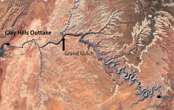
San Juan River in Utah with Mexican Hat and Clay Hill Outtake labels. We had to raft down the river to reach the Grand Gulch Convergence (marked with an arrow).
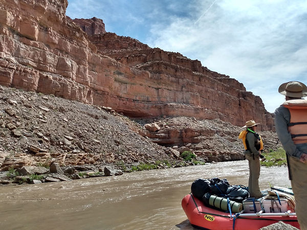
Stopping near Government Rapids on the San Juan River, UT.
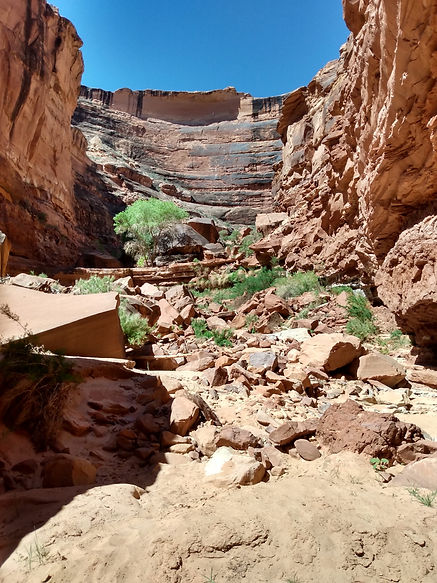
A drip garden (the ledge with the large tree on top) in the upper portion of the Grand Gulch Convergence. This was ~2.5 h hike from our camp near the San Juan River.
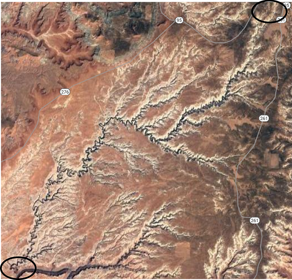
Grand Gulch in Southern Utah. The Convergence with the San Juan River is circled on the bottom left and the Headwaters are circled on the upper right.
BLM land near Blanding, UT.
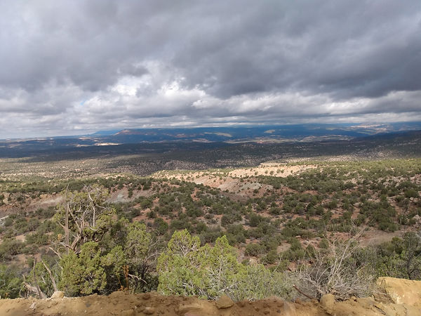
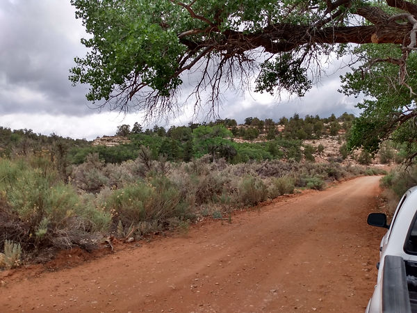
BLM land near Blanding, UT. This location was ~1 h drive with the last 30-40 min on gravel and dirt access roads.
Grove Creek Canyon near Pleasant Grove, UT.
